![]()
![]()
![]()
![]()


Experts working within the SERVIR-HKH Initiative at ICIMOD investigated the 2018 Panjshir flood using remotely sensed imagery...

Interactive visualisation of the highest mountain peaks of the world that are above 8,000 meter from sea level.

This map story lists glacial lakes of Nepal that have been categorized as potentially dangerous based on...

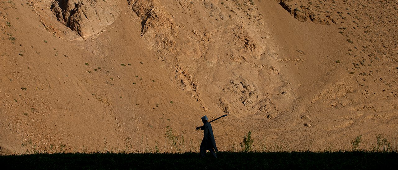
This story map describes how farmers are demoralized by the problems that they are facing in the field.
A joint initiative of NASA, USAID, and leading geospatial organisations in Asia, Africa, and Latin America, SERVIR partners with countries in these regions to address critical challenges in climate change, food security, water and related disasters, land use, and air quality. Using satellite data and geospatial technology, SERVIR co-develops innovative solutions through a network of regional hubs to improve resilience and sustainable resource management at local, national and regional scales.
The information provided on this website is not official U.S. Government information and does not represent the views or positions of the U.S. Agency for International Development or the U.S. Government.
Copyright © 2025 International Centre for Integrated Mountain Development (ICIMOD). This work is licensed under a Creative Commons Attribution Non-Commercial, No Derivatives 4.0 International License. | TERMS OF USE